|
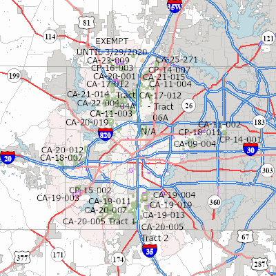
Width: 400 Height: 400 Extent:
YMin: 6840319.840728475 XMax: 2467723.4430000954 YMax: 7111653.247785228 Spatial Reference: 102738 (2276) Scale: 781440.2123234501 |
| ArcGIS REST Services Directory | Login | Get Token |
| Home > services > Planning_Development > PlanningDevelopment (MapServer) > export | Help | API Reference |

|
Width: 400 Height: 400 Extent:
YMin: 6840319.840728475 XMax: 2467723.4430000954 YMax: 7111653.247785228 Spatial Reference: 102738 (2276) Scale: 781440.2123234501 |